
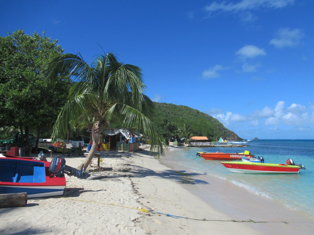
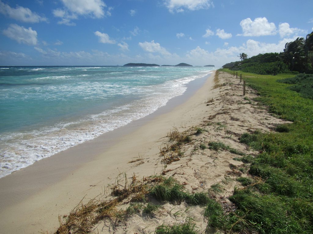
Salt Whistle Bay occupies the northern tip of Mayreau—a reef-sheltered Caribbean anchorage on one side and, a dozen footsteps away, the open Atlantic on the other. That narrow sand isthmus is the island’s postcard moment: calm turquoise and yacht masts to the west, wind and swell to the east, and shade in between.
What makes it special
Plenty of Caribbean beaches are beautiful. Few let you stand on one strip of sand and watch two named seas at once. Yachts tuck into the leeward crescent; guests dinghy ashore for a swim, a walk across the neck to the windward shore, and a rum punch with feet in the sand. Even in peak weeks the anchorage stays relatively uncrowded compared with busier Caribbean charter hubs.
What to do (and what not to expect)
- Swim and lounge on the calm Caribbean side.
- Walk the isthmus to the Atlantic shore—the contrast is the point.
- Climb the hill toward the village for sweeping views over the Tobago Cays, Canouan, and Union Island (about a 20–25 minute walk up from the bay on the road).
- Linger at beach bars for grilled fish, cold beer, and rum punch. Bring cash.
- Save serious reef snorkeling for the Tobago Cays next door—Salt Whistle Bay is a swim-and-sundowner stop more than a mask-and-fins destination.
Honest update after Hurricane Beryl
Hurricane Beryl (July 2024) broke through the sand isthmus and damaged shoreline infrastructure. As of mid-to-late 2026 reporting from cruising guides and visitor accounts, the breach has been repaired, beach vendors and restaurants are trading again, and rebuilding continues in places. Confirm a specific beach bar is open the week you visit if your day depends on it.
One important correction for older guidebooks: the picturesque cut-stone Roman Catholic church that once crowned the ridge (Church of the Immaculate Conception, dedicated in 1930) was heavily damaged and has not been rebuilt as of 2026 reports. A newer church across the road remains in use, and the hilltop panorama itself is unchanged. Climb for the view—not for a stone church that many websites still describe as intact.
Eat, drink, and wander
Along the bay you’ll find a scatter of independent beach bars. Over the hill toward Saline Bay and the village, a separate cluster of restaurants serves locals and overnight guests. Keep expectations island-simple: this is liming culture, not fine-dining city service—and that is the charm.
When to go
December through April brings the steadiest trade winds and classic sailing weather. Shoulder months can mean fewer boats and the same clear water. Avoid building a rigid schedule around peak storm periods if you need guaranteed ferry or charter connections.
Sources informing this update include Doyle Guides’ Mayreau notes, SVG local reporting on isthmus repairs, and 2026 visitor/charter write-ups. Conditions on a tiny island change—verify locally when it matters.